GEN 2.3 Chart symbols
1 Aerodromes
1.1 Charts other than approach charts
| Civil Aerodrome (land) |
 |
|---|
| Military Aerodrome (land) |
 |
|---|
| Joint civil and military Aerodrome (land) |
 |
|---|
| Emergency Aerodrome or Aerodrome with no facilities |
 |
|---|
| Abandoned or closed Aerodrome |
 |
|---|
| Heliport |
 |
|---|
1.2 Approach charts
| The Aerodrome on which the procedure is based |

 |
|---|
| Aerodromes affecting the traffic pattern on the Aerodrome on which the procedures is based |
 |
|---|
| Profile for runway |
 |
|---|
| Profile for FAF/FAP |
 |
|---|
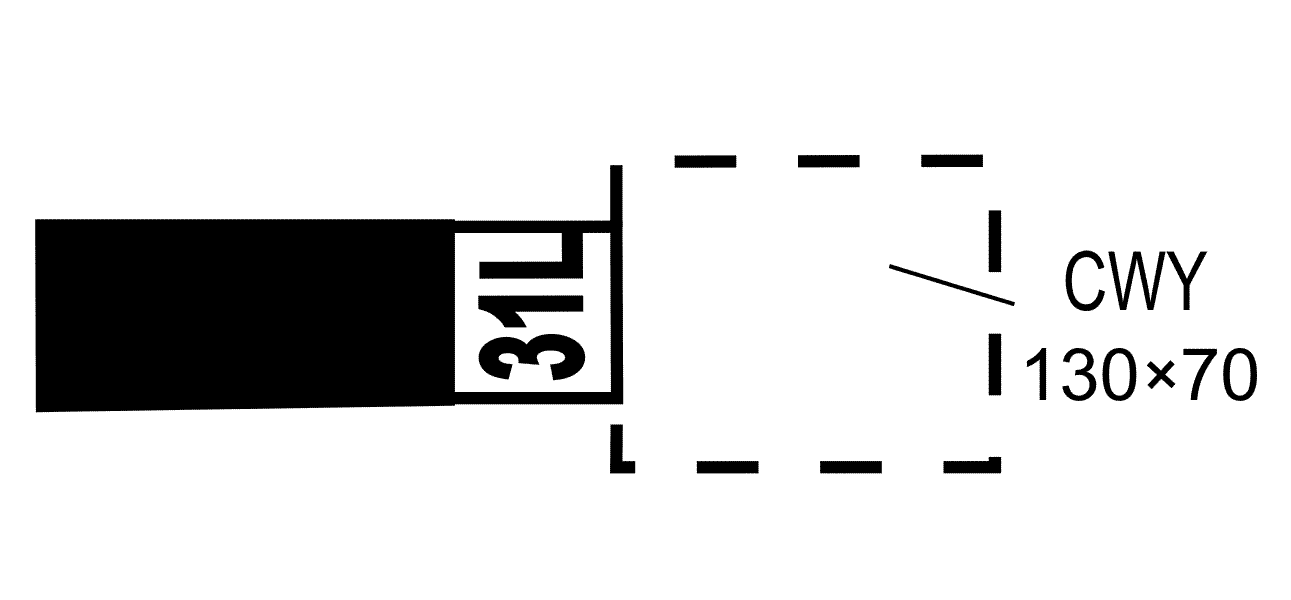
1.3 Aerodrome charts
| Hard surface runway |
 |
|---|
| Clearway |
 |
|---|
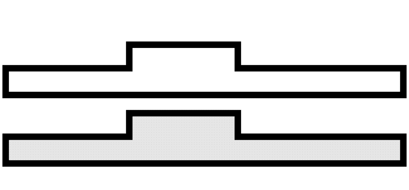
2 Aerodrome installations and lights
| Aerodrome Reference Point (ARP) |

 |
|---|
| Runway Visual Range (RVR) observation site |

 |
|---|
| Taxiways and parking areas |
 |
|---|
| Control tower |
 |
|---|
| Point light |

 |
|---|
| Barrette |

 |
|---|
| Threshold lights |

 |
|---|
| Wind direction indicator (lighted) |
 |
|---|
Aeronautical groundgroup light |
 |
|---|
| Hotspot |
 |
|---|
3 Radio facilities
| Basic radionavigation aid symbol |
 |
|---|
| Non-directional radio beacon (NDB) |

 |
|---|
| VHF omnidirectional radio range (VOR) |
 |
|---|
| Distance Measuring Equipment (DME) |
 |
|---|
| Collocated VOR and DME facility |
 |
|---|
| Instrument Landing System (ILS) |
 |
|---|
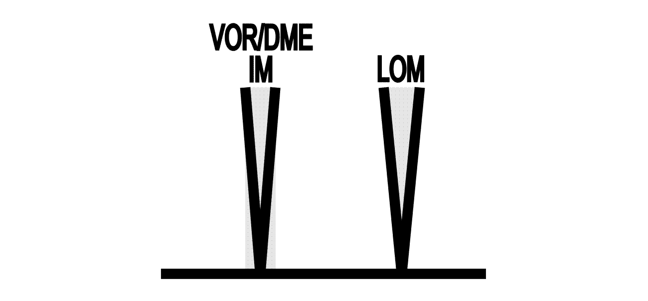
| Radio marker beacon (Elliptical) |
 |
|---|
| Compass rose |

 |
|---|
| Profiles for radio navigation aids |

 |
|---|
| Profiles for collocated VOR/DME |
 |
|---|
| Profiles for ILS |
 |
|---|
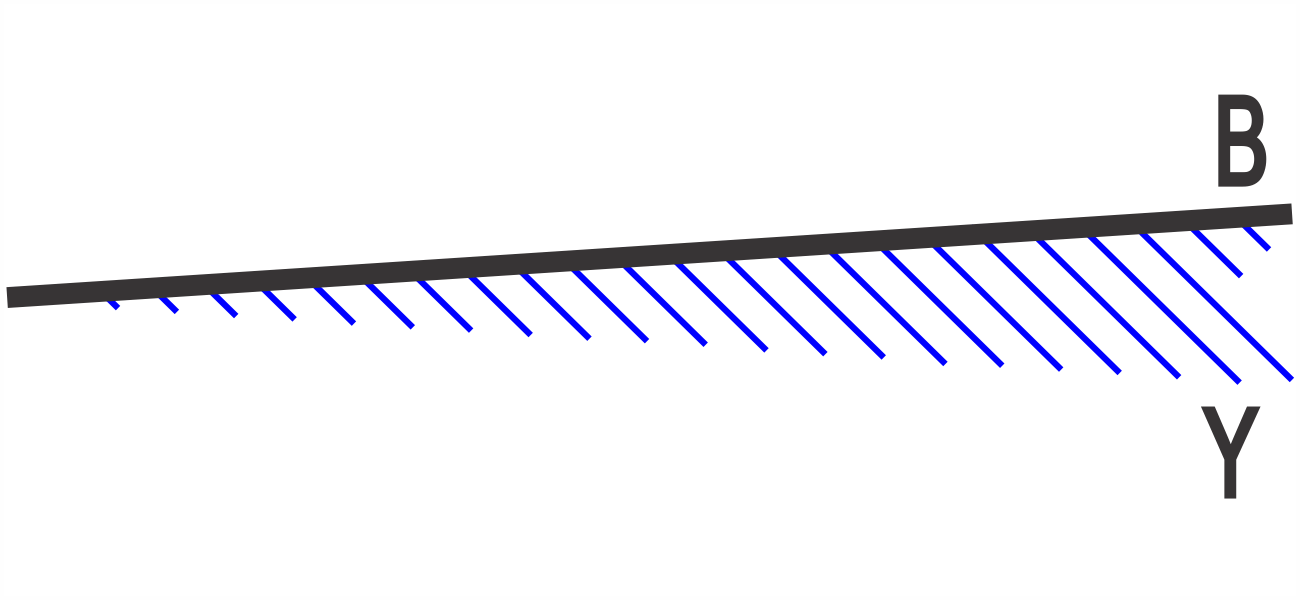
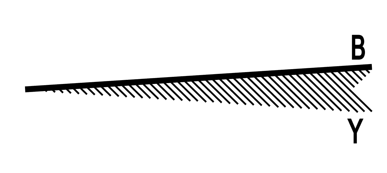
4 Obstacles
| Obstacles (not lighted) |
 |
|---|
| Lighted obstacles |

 |
|---|
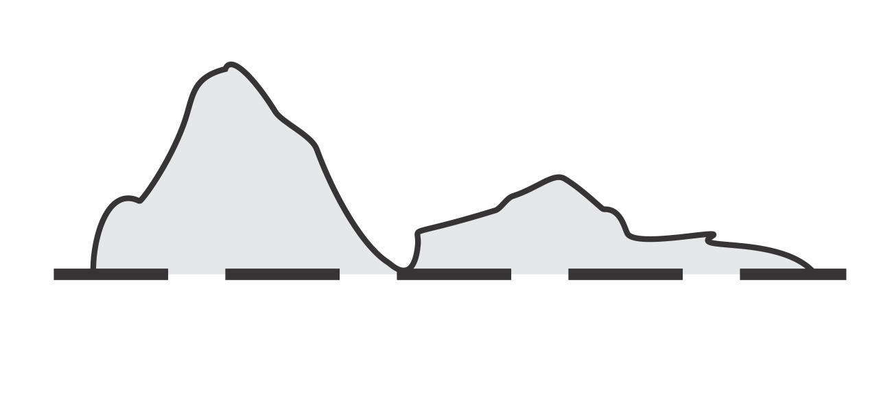
| Terrain penetrating obstacle plane profile |
 |
|---|
5 Air traffic services
| Flight Information Region (FIR) |
 |
|---|
| Aerodrome Traffic Zone (ATZ) |
 |
|---|
| Control zone (CTR) |
 |
|---|
| Terminal Control Area (TMA) |
 |
|---|
| TMA sector |
 |
|---|
| Communication sector boundary (CTA) |
 |
|---|
| Restricted airspace (prohibited, restricted areas) |
 |
|---|
| Restricted airspace (military exercise and training areas) |
 |
|---|
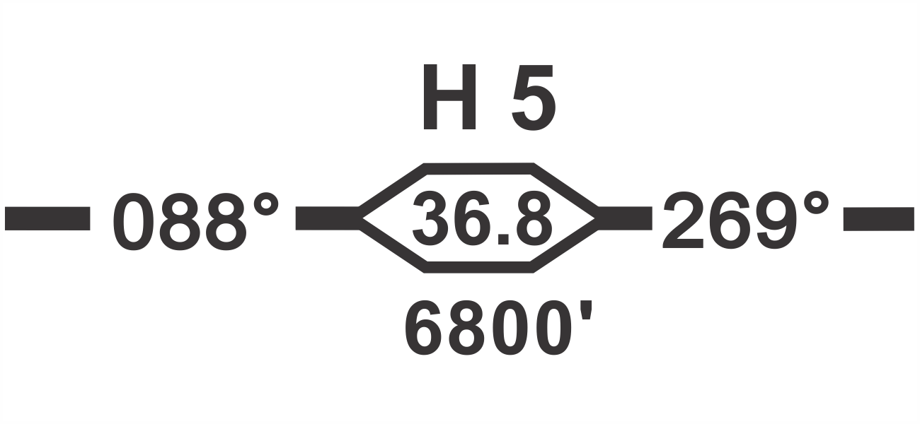
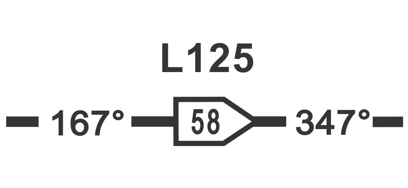
| ATS route (conventional) - designator, magnetic track, distance, minimum cruising level |
 |
|---|
| ATS route (RNAV) - designator, magnetic track, distance |
 |
|---|
| Scale break (on ATS route) |
 |
|---|
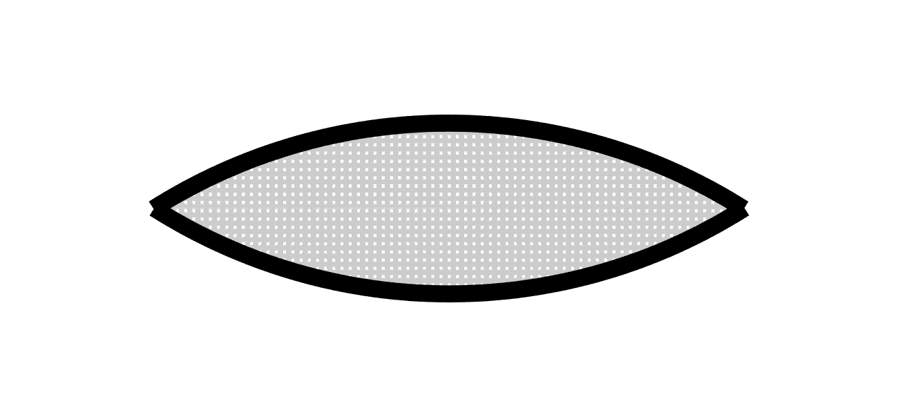
| Compulsory reporting point |
 |
|---|
| Non - compulsory reporting point |
 |
|---|
| Waypoint compulsory fly-by |
 |
|---|
| Waypoint on request fly-by |
 |
|---|
| Waypoint on request flyover |
 |
|---|
| Procedure altitudes/ flight levels | "window" |
 |
|---|
| "at or above" |
 |
|---|
| "recommended" |
 |
|---|
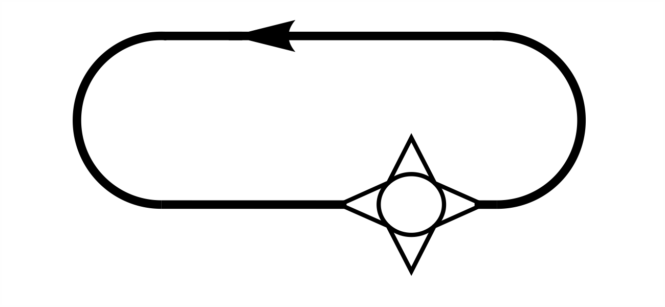
| Holding pattern |
 |
|---|
| Missed approach track |
 |
|---|
| Flight Information Region (FIR) |
 |
|---|
| Aerodrome Traffic Zone (ATZ) |
 |
|---|
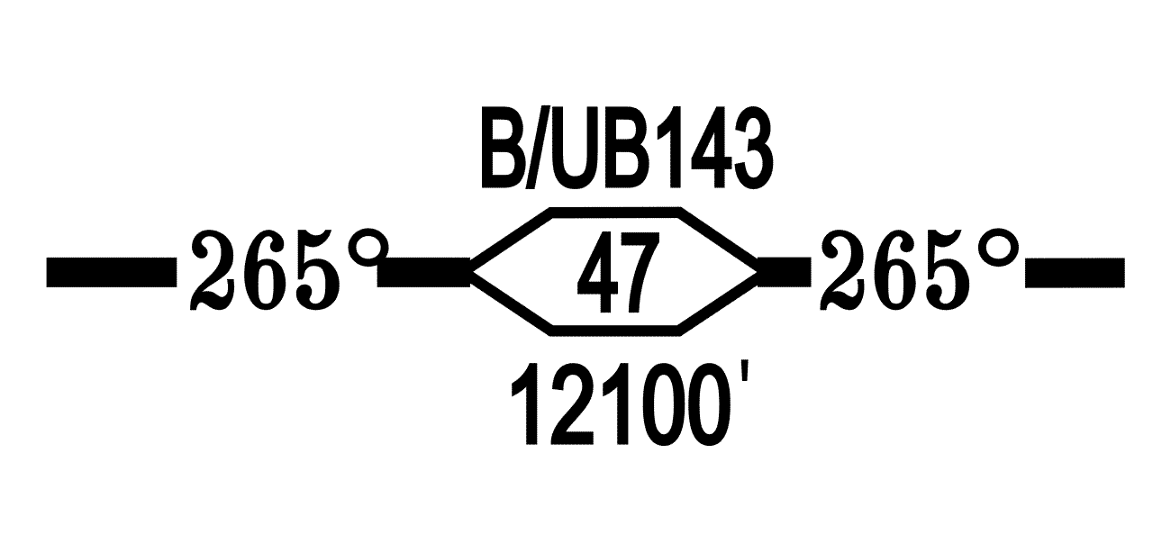
| ATS route designator, magnetic track, distance between reporting points (in NM), minimum cruising level |
 |
|---|
| Scale break (on ATS route) |
|
|---|
| Terminal Control Area (TMA) |
 |
|---|
| Compulsory reporting point |
 |
|---|
| Non - compulsory reporting point |
 |
|---|
| Restricted airspace (prohibited, restricted or danger areas) |
 |
|---|
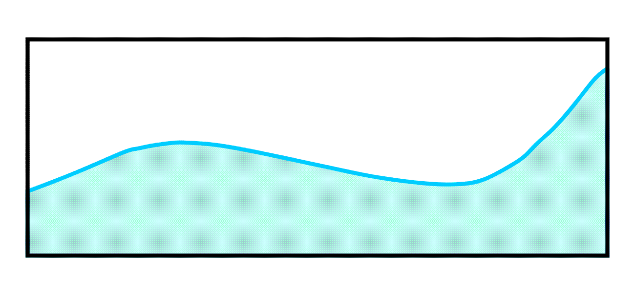
6 Topography
| Contours |
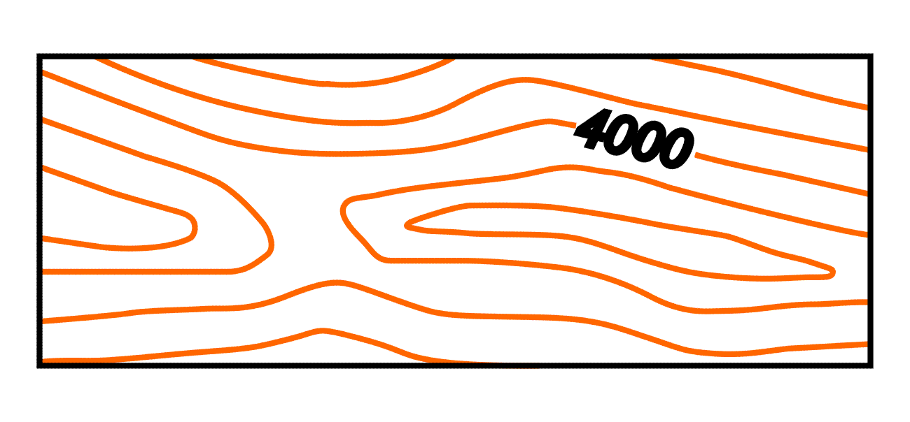 |
|---|
| Spot elevation |

 |
|---|
| Shore line (reliable) |

 |
|---|
| River |
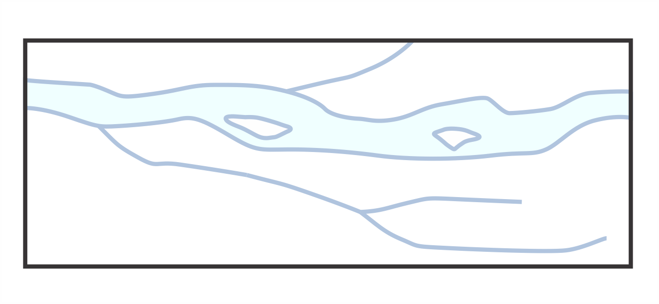
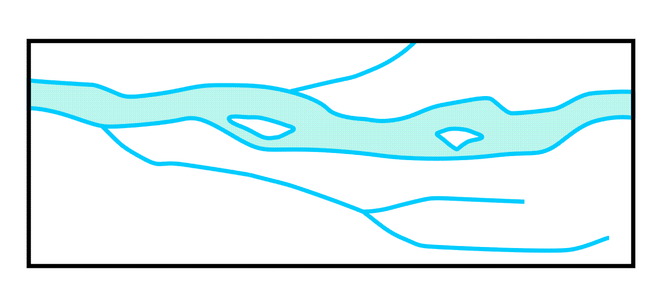 |
|---|
| Lakes |
 |
|---|
| City |
 |
|---|
| Buildings |
 |
|---|
Railroad (single track) |

 |
|---|
| Railroad (two ore more tracks) |
 |
|---|
| Primary road |

 |
|---|
| Secondary road |
 |
|---|
| Road bridge |
 |
|---|
| Boundaries (international) |
 |
|---|